These pages present most of the stuff I have produced for and with the excellent software package "Campaign Cartographer 2" produced by Profantasy. I heartily recommend this software for anyone who is interested in mapping imaginary realms on the PC.
This section contains the overland maps I have drawn with the basic CC2 package. See the other section for my work with the add-ons.
All files are available as previews (jpg images) and downloads (CC2-files). g images) and downloads (CC2-files). All CC2 files are version 6.
You are free to download and distribute this material for non-commercial purposes except where noted otherwise. If you have any questions or comments please e-mail me.
If you like my maps and download one or more of them, please leave a short message in my guestbook.
| Preview |
Title |
Description |
Download |
 |
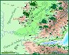 |
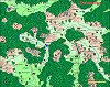
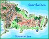
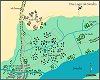
Achdar, Tiunshai and the Ulnor valley (Jhendor) |
The plains of Achdar and Agurnan are home to several nomad tribes which lead a
peaceful life herding their horses and Yirrek. Tiunshai is a kingdom of the non-human
Shirurshad, and the Ulnor valley is home to some human realms, among them the notorious, sorcerer-ruled Orn. |
achdar.zip (137kb) |
 |
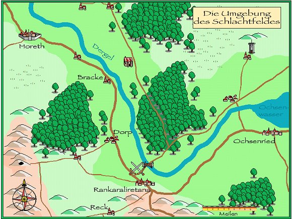
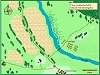
Battle on the Dergel - The area (Aventurien) |
Area map of the final battle of the Nandun campaign. |
schlacht.zip (69 kb) |
 |
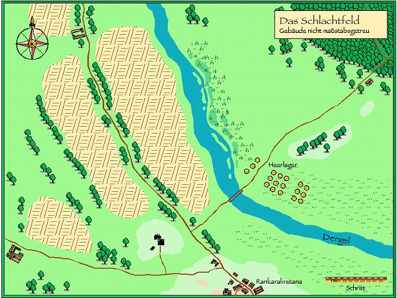
Battle on the Dergel - The battlefield (Aventurien) |
Map for the final battle of the Nandun campaign. |
schlachtfeld.zip (59kb) |
 |
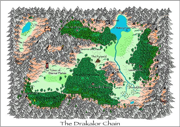
The Drakalor Chain (ADOM) |
The Drakalor Chain is the copyright of Thomas Biskup and the setting of the computer game
Ancient Domains of Mystery (ADOM). For further information visit www.adom.de |
drakalor.zip (161kb) |
 |
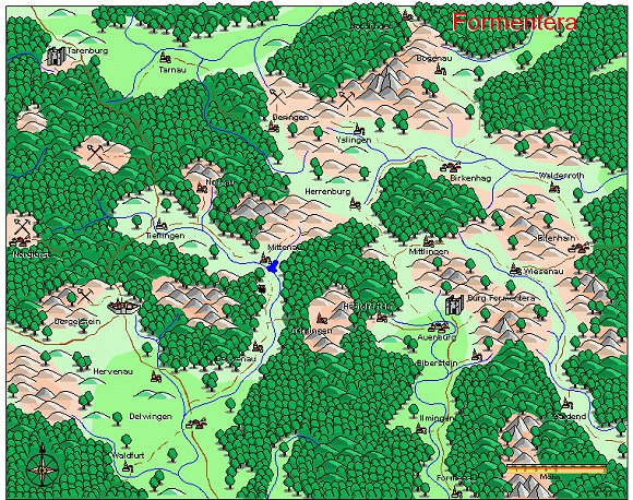
Formentera (Aventurien) |
Formentera is the barony of Mentaros, the oldest surviving character of my very first
roleplaying campaign. It is set in "Aventurien" the world of the German roleplaying game "Das Schwarze Auge". |
formentera.zip (123kb) |
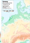 |
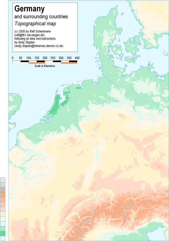
Germany, Topographical |
Topographical map of Germany and surrounding countries
Original concept and technique by Andy Staples |
germany_topographical.zip (651kb) |
 |
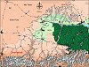
Gwynneth and Langein (Jhendor) |
Gwynneth and Langein are two kingdoms on the Setd>Gwynneth and Langein are two kingdoms on the Sea of Cold, both subject to the
Tlaroi empire. The Tlaroean peace is the only thing that keeps them from waging war
against each other, since they have been enemies for a long time and many scores are not yet settled. |
gwynneth.zip (134kb) |
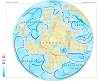 |
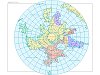
Jhendor, Oceans |
Oceans and Ocean Currents of Jhendor. |
jhendor_oceans.zip (527kb) |
 |
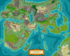
Jhendor, Political |
Political map of the continent Jhendor. |
jhendor_political.zip (561kb) |
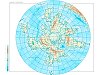 |
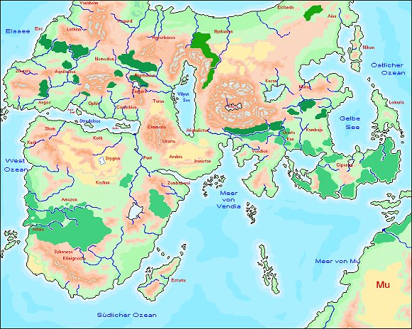
Jhendor, Topographical |
Topographical map of the continent Jhendor. |
jhendor_topographical.zip (523kb) |
 |
The Known World |
The Known World is the campaign setting of my friend and GM Uwe Kölsch. I printed this map in A1 size and gave it to him as a Christmas present. |
knownworld.zip (1311kb) |
 |
The Known World |
The Known World is the campaign setting of my friend and GM Uwe Kölsch. This is a conversion of the old map into the new CC3 format. |
knownworld_cc3.zip (1110kb) |
 |
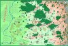
Larman tribal lands (Jhendor) |
The Larman are nomadic people living on the Plains of Achdar. This map shows their ancestral grazing lands and the surrounding areas. |
larman.zip (75kb) |
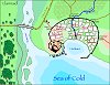 |
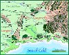
Llannaid and surroundings (Jhendor) |
Llannaid is the main port of Gwynneth on the Sea of Cold. It is located near the Tlaroian
road to Gwynnin. |
llannumg.zip (70kb) |
 |
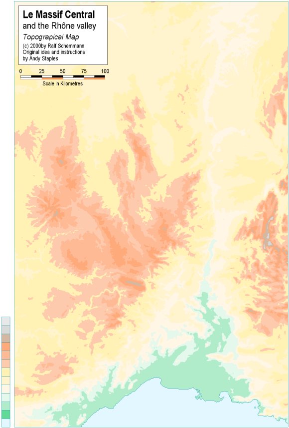
Le Massif Central |
Topographical map of the Massif Central and the Rhône valley
Original concept and technique by Andy Staples |
massifcentral.zip (264kb) |
 |
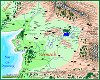
Narsaria (Jhendor) |
Narsaria is the third largest realm on the continent Jhendor. It's trading fleets have
reached almost every corner of the continent and have even crossed the oceans to the lands of Terakandor. |
narsaria.zip (146kb) |
 |
Nerwach (Jhendor) |
Nerwach is the farthest trailing province of Chelekantar Tlaroi (the empire of the Tlaroi).
It is ruled from the governess' fortress at Mar'lian, but its population is predominantly human. |
nerwach.zip (91kb) |
 |
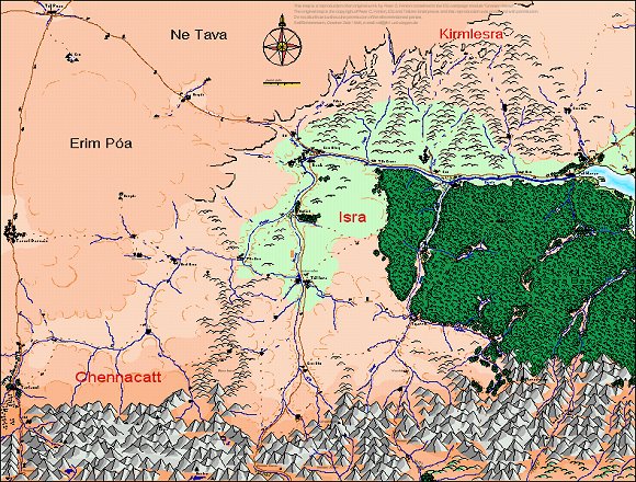
Orn (Jhendor) |
Orn was a very old realm ruled by a council of extremely powerful sorcerers who prolonged their lives by using the live force of their subjects. It was destroyed by the coming of the Child of Fire. |
orn.zip (124kb) |
 |
Sirayn (Middle-earth) |
This map is a reproduction of an original work by Peter C. Fenlon contained in the ICE campaign module "Greater Harad". The original map is the copyright of Peter C. Fenlon, ICE and Tolkien Enterprises and this reproduction was produced with permission. Do not distribute it without the permission of the aforementioned parties. |
sirayn.zip (399kb) |
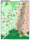 |
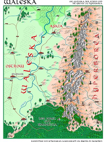
Waleska (Known World) |
Waleska is the country where I am currently adventuring in my friend's campaign. Inspired by medieval Poland, it is wedged between two powerful neighbours - Nemedia to the west and Hyperborea to the east. |
waleska.zip (137kb) |
 |
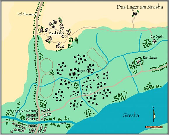
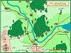
The warcamp (Middle-earth) |
The combined armies of Tartaust and the Ayten camped on the banks of the Siresha river
before they marched against the army of Tul Isra. |
warcamp.zip (222kb) |
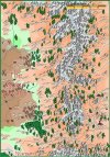 |
The Wild Mountains (Jhendor) |
The Wild Mountains form the border between the ruined lands of Orn and the lands of the Shirurshad to rimward. They are a wild and dangerous place and home only to a few scattered refugees from Orn. |
wildmountains.zip (132kb) |