Fractal Terrains
In this section you can find files relevant to Fractal Terrains, in particular CC2 maps exported from FT.
All files are available as previews (jpg images) and downloads (CC2- or pdf-files ). All CC2 files are version 6.
You are free to download and distribute this material for non-commercial purposes except where noted otherwise. If you have any questions or comments please e-mail me.
If you like my maps and download one or more of them, please leave a short message in my guestbook.

Other file sections:
[Map Collections] [Overland Maps] [City Maps] [Character Portraits] [Floorplans] [Symbol Catalogs] [Map Parts] [Templates] [Tutorials] [Other stuff] [Handdrawn Maps]
| Preview |
Title |
Description |
Download |
 Fractal Terrains exports |
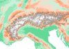 |
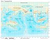
The Alps |
This is a CC2 export from Fractal Terrains. The height data is from the Hydro 1k database |
alps2.zip (1.5 Mb) |
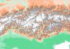 |
The Central Alps |
This is a CC2 export from Fractal Terrains. The height data is from the Hydro 1k database |
alps.zip (1040 kb) |
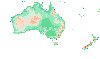 |
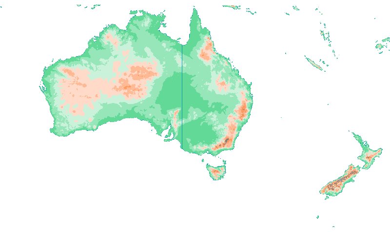
Australia and New Zealand |
This is a CC2 export from Fractal Terrains. The height data is from the GTOPO30 database. |
australia.zip (320 kb) |
 |
Dyra - Miller Cylindrical Projection |
Map of Dyra reprojected from the two hemisphere maps I imported into Fractal Terrains. Edited and labeled in CC2. |
dyra_topo.zip (731 kb) |
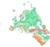 |
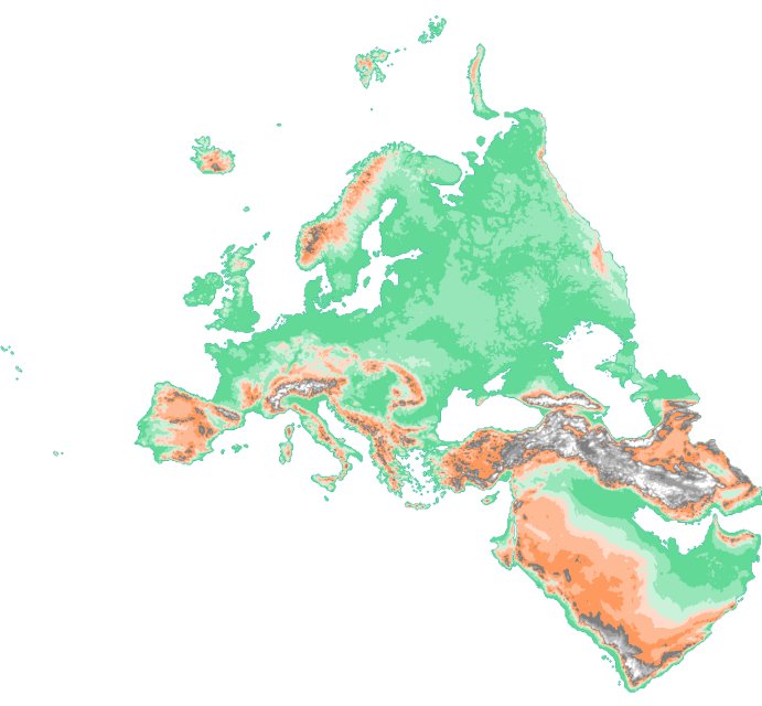
Europe and the Arabian peninsula |
This is a CC2 export from Fractal Terrains. The height data is from the Hydro 1k database |
europe.zip (1.5 Mb) |
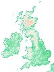 |
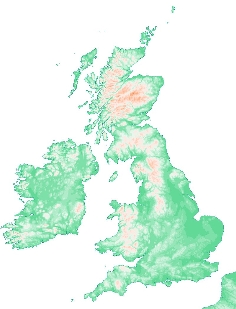
Great Britain and Ireland |
This is a CC2 export from Fractal Terrains. The height data is from the GTOPO30 database |
great_britain_and_ireland.zip (1.2 Mb) |
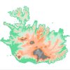 |
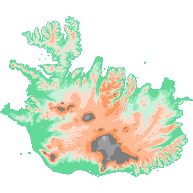
Icleand |
This is a CC2 export from Fractal Terrains. The height data is from the Hydro 1k database |
iceland.zip (427 kb) |
[Back to Top]