Handdrawn Maps
Yes, I still draw maps by hand! Mostly sketches of places and areas during sessions of campaigns where I play and do not DM. Below you will find a selection from the last campaign in my friend Uwe's world.
You are free to download and distribute this material for non-commercial purposes except where noted otherwise. If you have any questions or comments please e-mail me.
If you like my maps and download one or more of them, please leave a short message in my guestbook.
Other file sections:
[Map Collections] [Overland Maps] [Fractal Terrains] [City Maps] [Character Portraits] [Floorplans] [Symbol Catalogs] [Map Parts] [Templates] [Tutorials]
| Preview |
Title |
Description |
Download |
Handdrawn Maps |
 |
Aquilonien |
The central country of the campaign around which most of the story revolved - although we never actually adventured there much. |
Click on the thumbnail to see the map! |
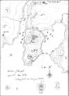 |
Berkegard |
We founded the city Newhaven on the wild continent of Thule. It was later renamed Berkegard for the famous Wolfer warlord Berke. |
Click on the thumbnail to see the map! |
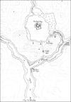 |
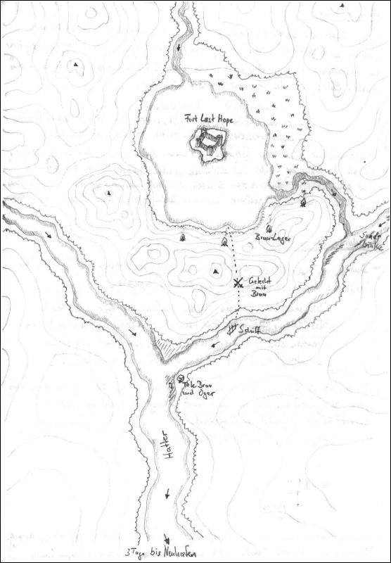
Fort Last Hope |
The refuge of the last survivors of the fallen empire of Great Caer ... which turned out to be ogres. |
Click on the thumbnail to see the map! |
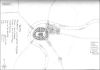 |
Eccanois (unfinished) |
The great and glorious cathedral of Eccanois hides a lot of dark secrets underneath. |
Click on the thumbnail to see the map! |
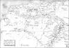 |
Ligurien |
In the contested lands of Ligurien the great showdown of the campaign took place. |
Click on the thumbnail to see the map! |
[Back to Top]